GNSS RTK
What is RTK?
Last updated 8 days ago
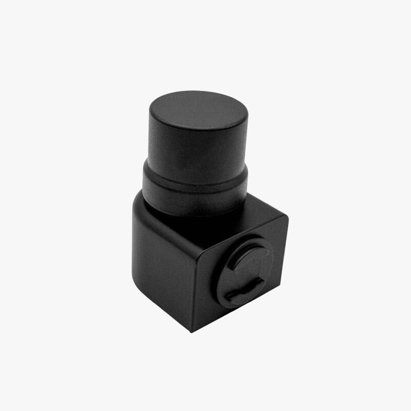
RTK is one of the high-precision geolocation systems compatible with SonarVision. It is a highly accurate “GPS” receiver that allows you to determine your location to within 1 meter and connects to the app via Bluetooth.
If you’re looking for more information on how to connect an RTK to SonarVision, or how to get one, read: Getting or Building an Ardusimple RTK
Here is a demonstration created by an SonarVision user:
Centipède Network Coverage
The Centipède network covers most of metropolitan France, certain overseas territories, and a few other regions around the world. The SonarVision app automatically connects to the nearest active RTK base station.
You can visit the official map to view existing stations around the world.
More Information
Here are a few paragraphs to help you better understand this system.
What is GNSS?
First of all, GNSS stands for “Global Navigation Satellite System,” commonly referred to as GPS, although this is technically a misnomer. GPS is actually the U.S. satellite constellation, the Global Positioning System, orbiting the Earth alongside the European (Galileo), Chinese (Beidou), and Russian (GLONASS) constellations.
GPS (i.e., GNSS) receivers are generally capable of receiving signals from all of these constellations. However, depending on their antenna, microchip, the algorithms used, and the environment, their accuracy can vary greatly.
For example, with an iPhone 13, in an open area such as a park, accuracy ranges from 3 to 10 meters. In contrast, in a narrow alley lined with 10-story buildings, accuracy is typically between 10 and 50 meters. This is because the GPS antenna can only “see” satellites in a straight line through a narrow strip of sky between the two buildings, and signals from other satellites arrive after bouncing once or more off the building facades: this is known as the canyon effect.
The iPhone 13 is equipped with a basic antenna that detects only one frequency transmitted by the satellites—the L1 frequency. However, there are “multi-band” antennas capable of simultaneously detecting multiple frequencies from the same satellite. With a specialized chip and algorithms, it is then possible to determine whether a signal has bounced off a wall before reaching the antenna and, therefore, to ignore it. These receivers are commonly referred to as “dual-band” and are found in many consumer devices, such as the iPhone 14 Pro and later models, as well as certain smartwatches. In terms of accuracy, this greatly reduces the inaccuracies associated with the canyon effect and, in practice, allows for accuracy of less than 5 meters, even in urban areas.
So is it possible to achieve meter-level—or even centimeter-level—accuracy with a GPS system, which is so valuable for pedestrian navigation? Well, yes, ever since the invention of the RTK system with corrections.
What is RTK?
RTK stands for Real-Time Kinematics. It’s an advanced technique that allows you to measure your position with a theoretical accuracy of 1 to 2 centimeters. In practice, however, the waves from the satellites are deflected by the ionosphere—a very high layer in the atmosphere—which disrupts the measurements taken by this receiver and limits the accuracy of a single RTK to around 5 meters…
However, physics has a nice surprise in store for us: between two points 10 kilometers apart, these disturbances are virtually identical and remain very similar up to 50 kilometers. The ingenious designers of the “RTK” therefore came up with the idea of using a first fixed RTK, placed at a well-known GPS coordinate and called the “base,” to correct the measurements taken by another mobile RTK—mounted, for example, on a tractor—and called the “rover.” If the base detects that it is 5 meters too far north, it transmits a correction to the rover via the internet, allowing the rover to correct its position by 5 meters to the south. The result: positional accuracy of approximately 1 centimeter.
This technology was initially widely used in precision agriculture, allowing farmers, for example, to drive a tractor year after year along the same furrows without overly compacting the soil. Initially, these antennas cost between €15,000 and €25,000, and a subscription to a correction network could cost up to €1,000 per year.
In recent years, companies such as u-blox have been marketing much cheaper chips RTK, making it possible to build more affordable receivers for just a few hundred euros. French farmers have embraced this technology and created a free and open network called “Centipede,” which provides correction data for free.
All that’s left is to develop guidance applications capable of using them!